

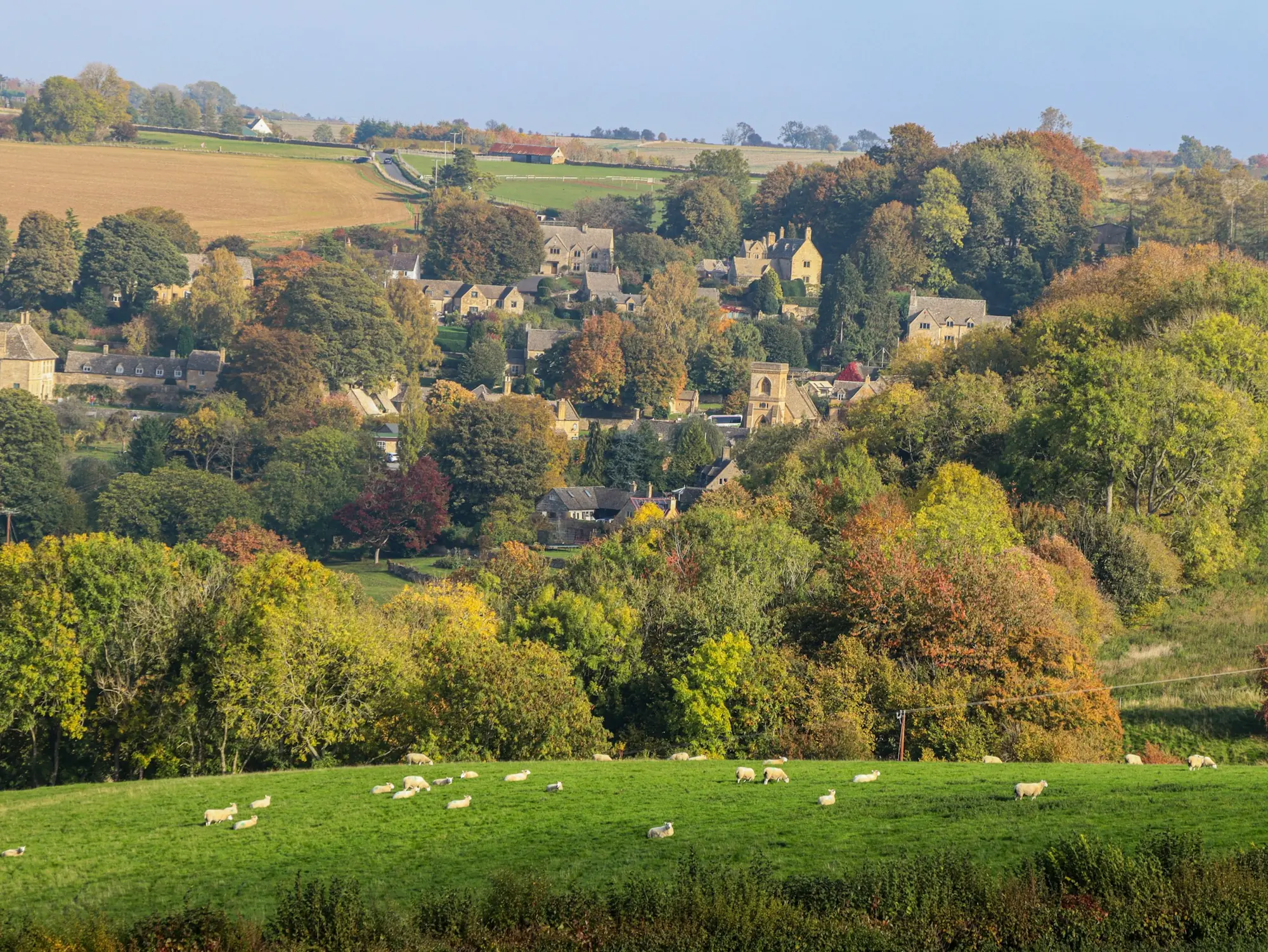
Cirencester · GloucestershireDrone surveys in Cirencester
Drone surveys in Cirencester
Gloucestershire
Cirencester is at the heart of Cotswold farming, home to the Royal Agricultural University and surrounded by large arable estates. Our multispectral NDVI and field mapping services are built for exactly this kind of farmland.
Drone survey services in Cirencester
- NDVI crop health and in-season scouting for arable estates
- Field orthomosaics and boundary mapping for SFI and land records
- Hedge and habitat mapping for environmental schemes
- Roof inspections for listed and stone-built farm buildings without scaffolding
Prices for Cirencester surveys
| Service | From (ex-VAT) |
|---|---|
| Field mapping & boundaries | £450 |
| Crop scouting & NDVI | £400 per visit |
| Topographic site survey | £650 |
| Volumetric stockpile survey | £450 |
| Roof inspection (residential / commercial) | £450 / £700 |
Cirencester is within our 30-mile free call-out zone from Cheltenham, so you only pay for the survey itself.
How it works
- Tell us the site, what you need and when.
- We send a fixed quote and check airspace and permissions.
- We fly the site, usually in a single visit.
- Your maps, models or report are delivered once processing and checks are complete.
Also covering
Drone survey Stroud · Drone survey Cheltenham · Drone survey Gloucester
Frequently asked questions
Do you charge a call-out fee in Cirencester?
No. Cirencester is within 30 miles of our Cheltenham base, so there is no call-out charge.
3 months of the Farm Dashboard free for new clients
Tell us about your land or site.
We reply with a fixed, no-obligation price. Free call-out within 30 miles of Cheltenham.